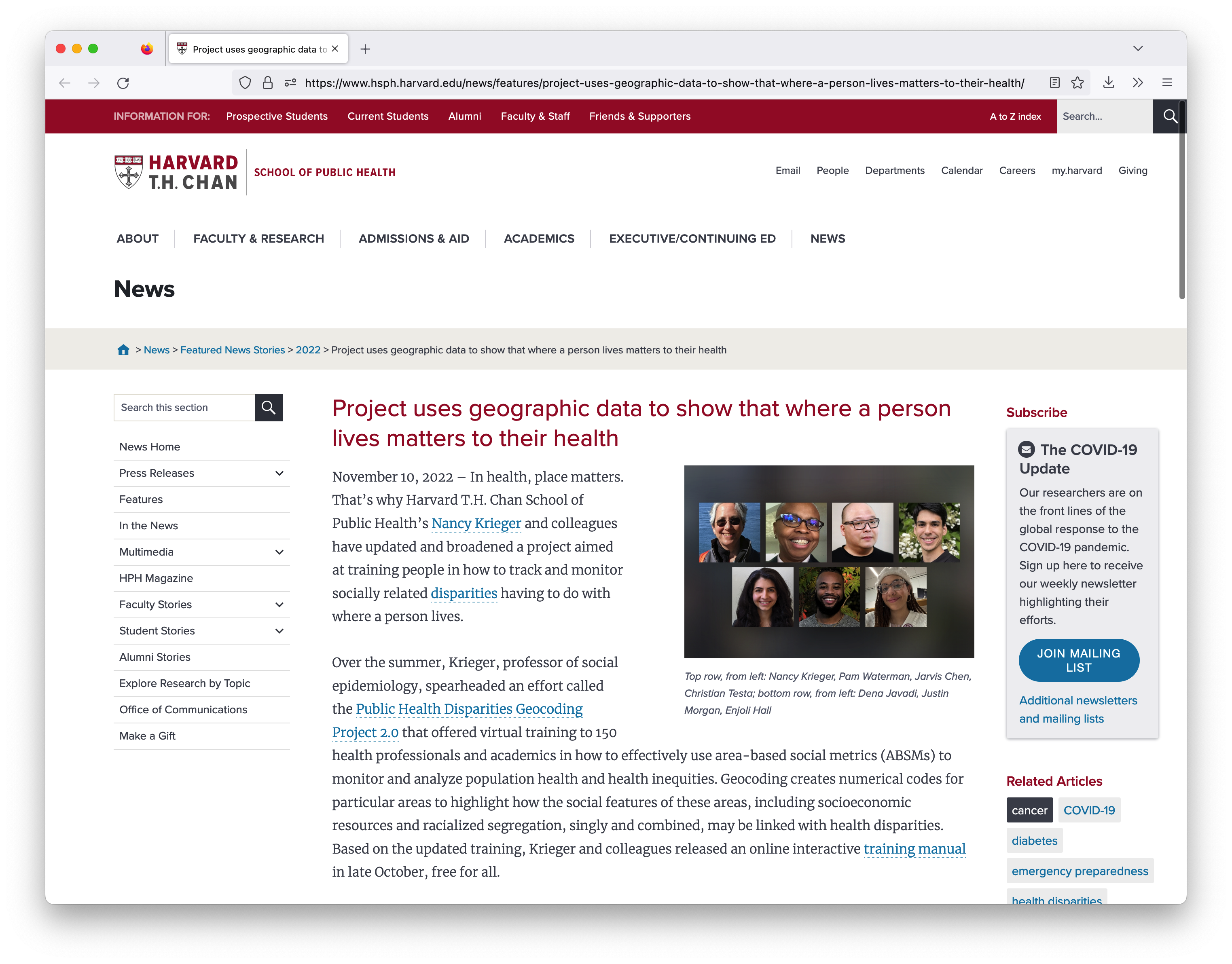
The Public Health Disparities Geocoding Project 2.0
The Public Health Disparities Geocoding Project 2.0 was a workshop where my colleagues and I trained 150 Public Health professionals from diverse backgrounds (city and state health departments, advocacy organizations, policy think-tanks, academia, non-profits, etc.) on how to use geo-referenced data for analyses that promote health equity.
I am so proud of what we were able to accomplish in this training in terms of recruiting participants from such diverse backgrounds, selecting them from out of over 500 applicants, and designing workshops for them that met them where they were no matter their skill level or area of focus.

The workshops emphasized myriad topics including best practices for disease mapping, spatial modeling of disease rates, data visualization, and how to structure health communication in a way that actively combats the stigmatization of marginalized groups.
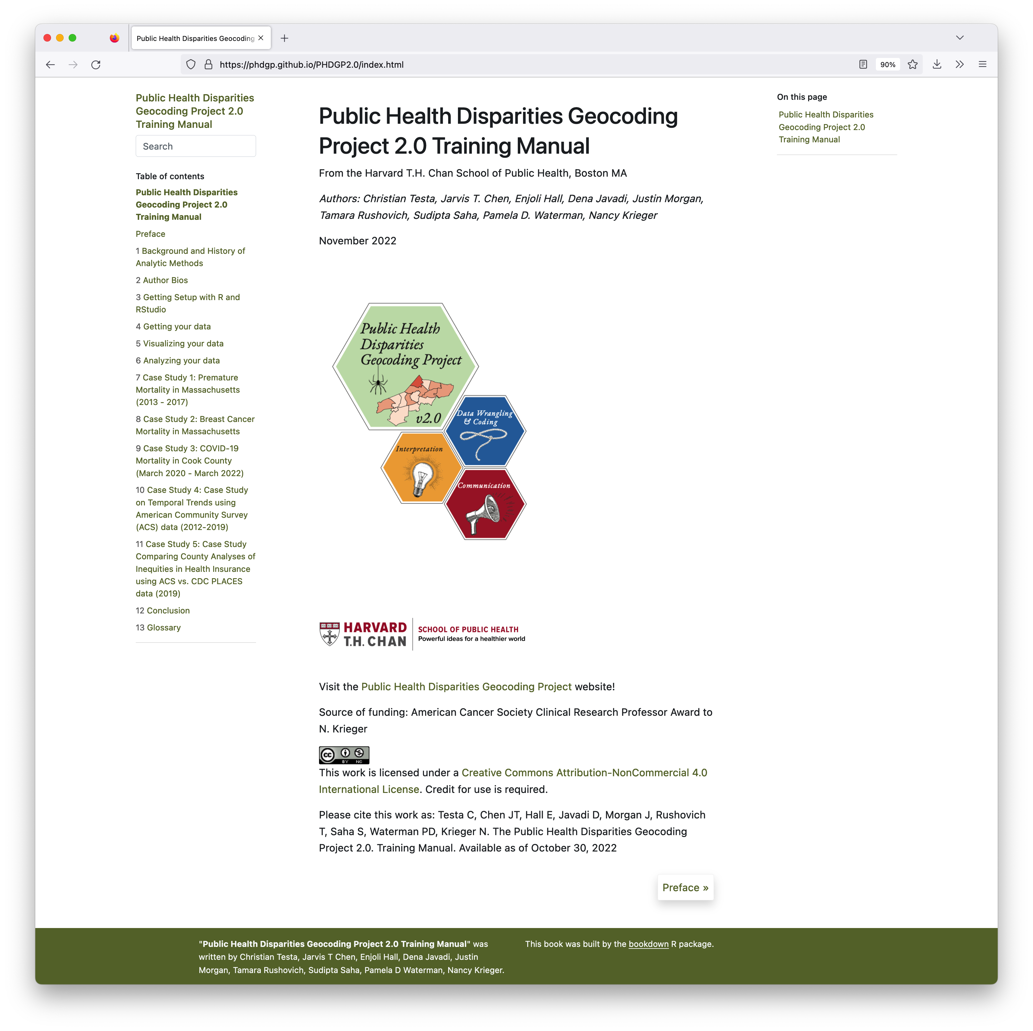
One of the ways that we were able to meet participants needs no matter their background was through the deliberate structuring of distinct areas of emphasis throughout the course. The three areas of emphasis that we identified that individuals could choose to focus on depending on their personal experience and background were:
- Interpretation: How do we interpret the measures and analytic results we construct? To whom do they apply? How can we describe the motivation and need for the methods we employ?
- Data Wrangling & Coding: How do we use programming code to construct our measures and models of interest? How do we deal with idiosyncracies in the data like numerator/denominator mismatch?
- Communication: What are the best approaches for communicating with different kinds of stakeholders? How do we leverage color most appropriately in data visualization while being inclusive to those with color-blindness? How do we craft our messages to avoid stigmatizing places and populations?
Each of these three tracks are reflected in the posters that we designed to accompany our workshop and training manual.
Speaking of our training manual, all of our workshop materials are fully free and open-access online contained in our training manual available at https://phdgp.github.io/PHDGP2.0/index.html.

The training manual was created in R using the bookdown package by Yihui Xie.
In case you’re looking for the data that goes with each of the case studies, those are available here: https://www.hsph.harvard.edu/thegeocodingproject/save-the-date-the-public-health-disparities-geocoding-project-2-0/
Lastly, I just want to share that the videos from our trainings are available online.
Links:


